
This transparent PNG of wilayah west indonesia - map clipart in 561x323 Pixel Image Resolution, is available for free. Explore Indonesia map, Southeast Asia geography, and islands of Indonesia in the PNG collection.
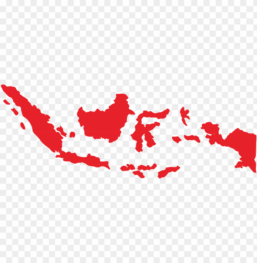
Image Details: The image displays a map of Indonesia, highlighting the country's main islands including Sumatera, Kalimantan, Sulawesi, Jawa, and Irian Jaya. The map is presented in a simple design with a focus on the mainland and surrounded waters, with corresponding labels for each island. The outline of the country is shown in varying shades of gray.
| Resolution | 561x323 |
|---|---|
| Title | Wilayah West Indonesia - Indonesia Map Clipart PNG Transparent With Clear Background ID 170366 |
| Category | PNG |
| Photo type | PNG |
| File size | 11.1kB |
| Published on | Jul 17, 2019 |
| CopyRight | Free for personal use |
TopPNG is an open platform for designers to share their favorite design files, this file is uploaded by John3, if you are the author and find this file is shared without your permission, please Contact Us.


