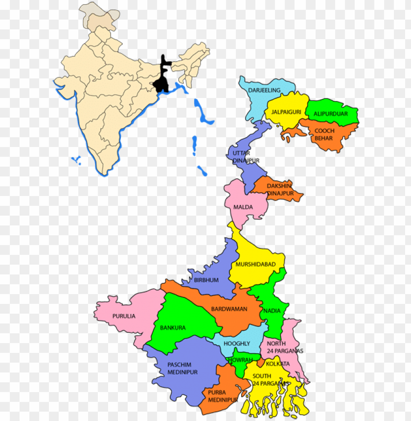
This transparent PNG of bengal clipart west - map bengali language in 466x632 Pixel Image Resolution, is available for free. Explore West Bengal, India map, and districts of West Bengal in the PNG collection.
Image Details: The image displays a map of the Indian state of West Bengal, highlighting its various districts in different colors. An inset map shows the location of West Bengal within India, identified by a shaded area. The districts are labeled and include names such as Darjeeling, Jalpaiguri, Alipurduar, and others. The overall layout provides a clear representation of the administrative divisions within the state.
| Resolution | 466x632 |
|---|---|
| Title | Bengal Clipart West Bengal - West Bengal Map Bengali Language PNG Transparent With Clear Background ID 172130 |
| Category | PNG |
| Photo type | PNG |
| File size | 33.7kB |
| Published on | Jul 18, 2019 |
| CopyRight | Free for personal use |
TopPNG is an open platform for designers to share their favorite design files, this file is uploaded by John3, if you are the author and find this file is shared without your permission, please Contact Us.