
This transparent PNG of mapa de colombia vector in 1200x1205 Pixel Image Resolution, is available for free. Explore Colombia map, Santa Marta, and Bogotá in the PNG collection.
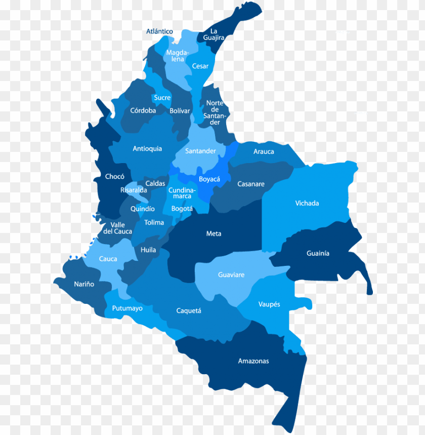
Image Details: The image displays a map of Colombia, highlighting the distance between two cities: Santa Marta and Bogotá. A red dashed line indicates the route, with a distance of 740.58 km marked between the two locations. The background is a simplistic representation of the Colombian territory.
| Resolution | 1200x1205 |
|---|---|
| Title | Mapa De Colombia Vector PNG Transparent With Clear Background ID 92017 |
| Category | PNG |
| Photo type | PNG |
| File size | 138.8kB |
| Published on | Feb 14, 2019 |
| CopyRight | Free for personal use |
TopPNG is an open platform for designers to share their favorite design files, this file is uploaded by Arch Vaughn, if you are the author and find this file is shared without your permission, please Contact Us.